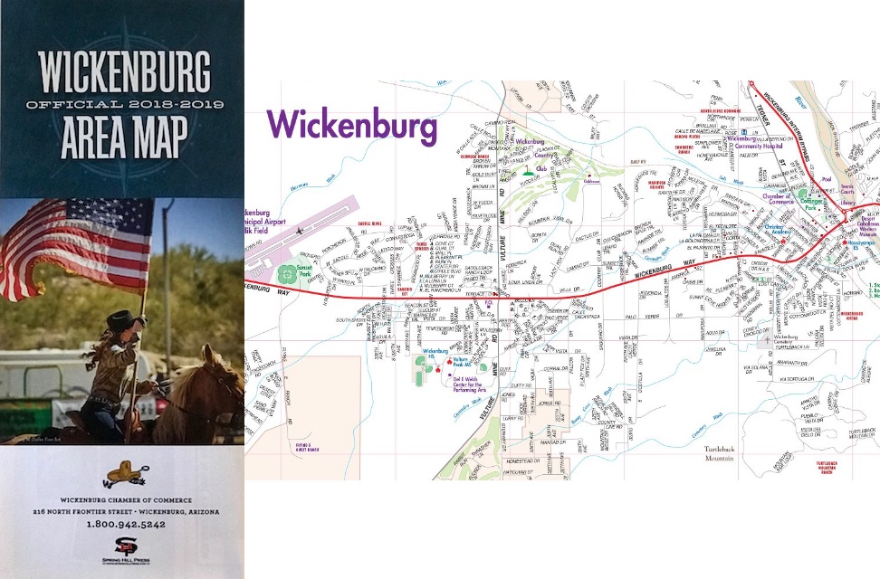
Wickenburg Area Map
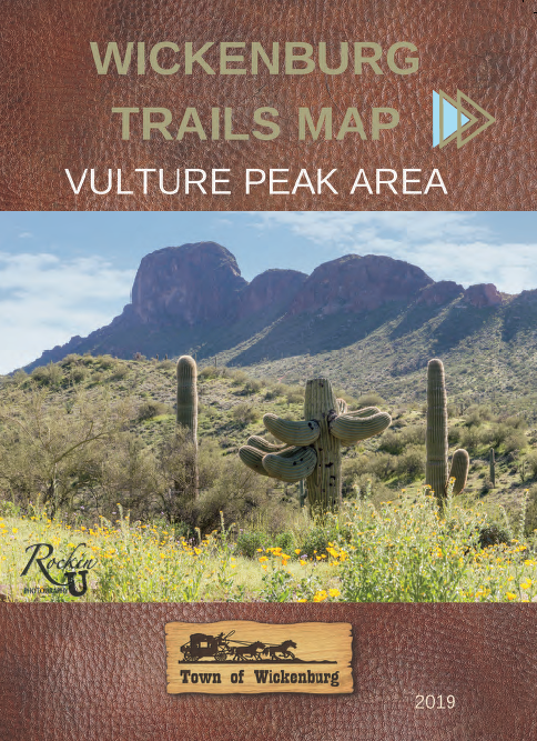
WICKENBURG TRAILS MAPS
The Vulture Peak Regional Maps have arrived and are for sale at the Wickenburg Town Hall front counter and the Wickenburg Visitor Center. The price is $15.00 each.
The map was produced by various partners: BLM, Town of Wickenburg, Maricopa County, Arizona State Land Department, and Wickenburg Chamber of Commerce.
The map includes the public trail areas southwest of U.S. 60 in Morristown and Wickenburg to the southwest area of South Vulture Mine Road. The Vulture Peak trails are located in the middle of the map.
The second map has arrived and includes both the San Domingo Wash and Box Canyon areas near Wickenburg. This map includes the north-northwest areas such as Box Canyon and Red Top trail system. It also includes the Castle Hot Springs area near State Route 74 in Morristown. This map is for sale for $25.00 each.
FAQs:
The map is the most current as approved by BLM.
No trail changes are expected by BLM for at least a couple of years.
The map includes trails of all uses – motorized and non-motorized.
For additional information, please contact the Town of Wickenburg.
P: (928) 684-5451
Town of Wickenburg, 155 N. Tegner Street, Wickenburg, AZ 85390